
MEA says support for UN’s equal-area mapping initiative does not amount to acceptance of any particular boundary representation
NEW DELHI: GTNS, SEPTEMBER 10, 2026; India has raised objections over the way Arunachal Pradesh and Aksai Chin have been represented in a recently issued United Nations world map, opening a fresh diplomatic debate over cartographic accuracy and territorial sovereignty.
The Ministry of External Affairs (MEA) has taken up what it described as anomalies in the map with the concerned authorities. India maintains that Arunachal Pradesh is an integral part of the country, while Aksai Chin is part of Ladakh under India’s official position.
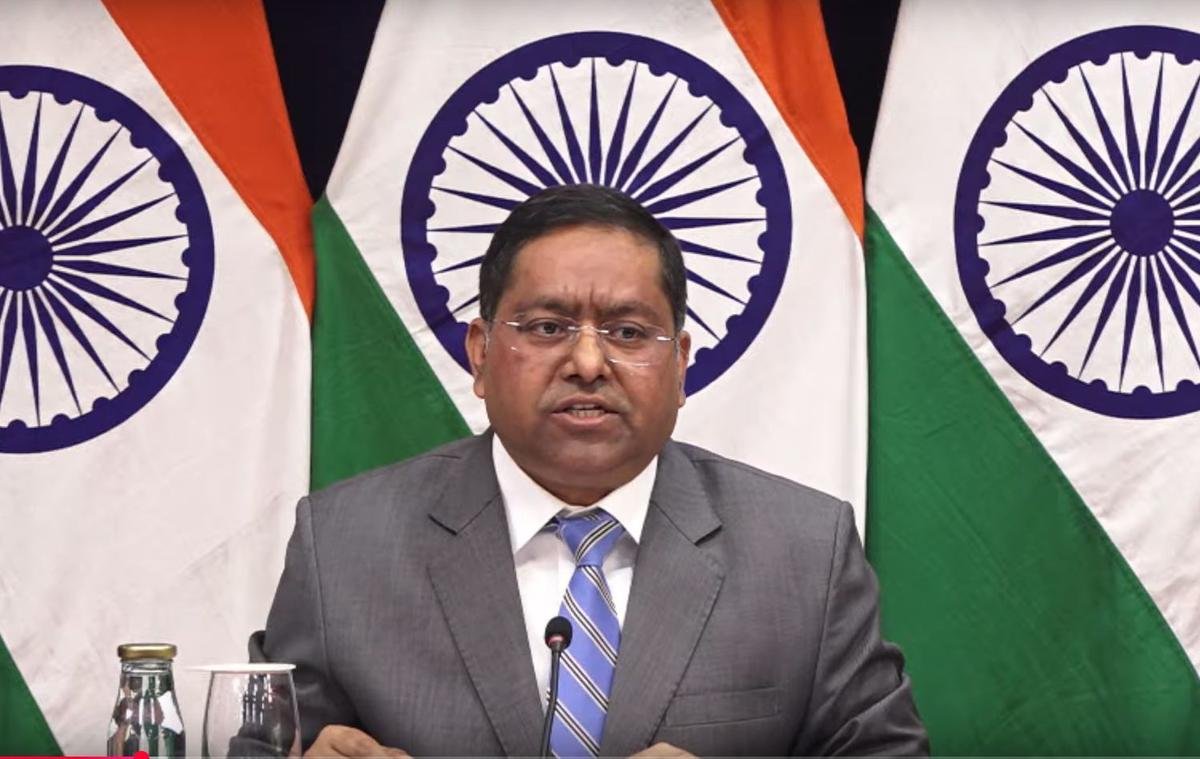
Randhir Jaiswal clarifies India’s position
MEA spokesperson Randhir Jaiswal said India had supported the UN General Assembly initiative because of its focus on equal-area cartographic representation, but that vote should not be interpreted as approval of any particular map or territorial depiction.
Jaiswal underlined that the resolution was about the principle of using more accurate equal-area maps and did not endorse a specific map produced by any entity.
What has triggered the controversy
The UN map, published on July 1, 2026, depicts Arunachal Pradesh and Aksai Chin using separate boundary/claim-line representations between India and China. Reports have also pointed to differences in the way Arunachal Pradesh’s boundaries are displayed compared with India’s official mapping position.
For New Delhi, the issue is not simply about cartographic design. Maps carrying the name and authority of international institutions can have wider diplomatic significance, particularly when they concern territories involved in long-running boundary disagreements.
India backed the ‘Correct the Map’ initiative
The controversy comes shortly after the UN General Assembly adopted the “Correct the Map” resolution on September 4, promoting the use of an equal-area projection known as Equal Earth.
India voted in favour of the resolution. However, New Delhi made clear that its support was limited to the principle of more equitable cartographic representation and does not change India’s position on its territorial boundaries.
A sensitive India-China issue
The development comes at a time when India and China continue efforts to manage their boundary differences through military and diplomatic channels. Senior military commander-level talks were also held in Arunachal Pradesh earlier this month, marking a significant development in engagement along the eastern sector.
The latest map controversy therefore adds another layer to an already sensitive India-China boundary narrative.
India’s message remains clear: international cartographic initiatives may evolve, but New Delhi expects India’s territorial position to be represented in accordance with its official map and sovereignty claims.
Global Times News | INDIA ; GTNS
SEPTEMBER 10, 2026