

Odisha reports major progress in digitization of land records
BHUBANESWAR ,GTNS, SEPTEMBER 10, 2026 : India is preparing for a major transformation in the way land records are maintained, accessed and managed, with the Union Government unveiling the operational guidelines for the Digital India Land Records Modernization Programme (DILRMP) 3.0.
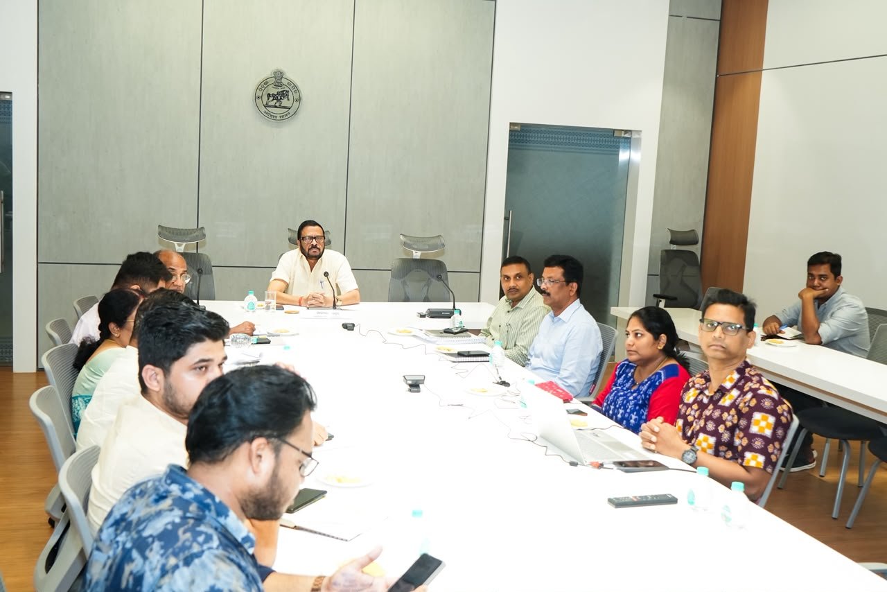
Union Rural Development Minister Shivraj Singh Chouhan unveiled the new guidelines, marking the beginning of the next phase of the country’s land-record modernisation drive. Odisha Revenue and Disaster Management Minister Suresh Pujari, accompanied by senior officials of the department, joined the programme virtually from Lok Seva Bhawan in Bhubaneswar.
Unlike the earlier focus on digitising individual land records, DILRMP 3.0 seeks to connect different land-related databases and create an integrated digital Land Stack. The programme is intended to bring land records, cadastral maps, registration information and other relevant datasets onto interoperable digital platforms.
The third phase will run from April 1, 2026, to March 31, 2031, with a financial allocation of ₹565.50 crore.
At the centre of the proposed system will be cadastral parcels, which will provide the spatial foundation for integrating different categories of land information. Records of Rights, registration details, circle rates, land-use information, restrictions and other relevant data will be connected through interoperable digital interfaces.
The programme also proposes the use of ULPIN, or Bhu-Aadhaar, as a unique identification number for land parcels. The move is expected to make identification and exchange of land information easier across different government systems.
Another important area under DILRMP 3.0 is the digitisation of old land and registration records. The programme aims to make such records easier to search and access while improving the security and authenticity of information available to citizens.
The new framework also seeks to modernise property registration and enable more seamless digital property transactions. Revenue court processes are proposed to be digitised as well, with the objective of reducing delays in mutation and land-dispute proceedings and improving transparency.
ODISHA BUILDS ON EXISTING PROGRESS
Odisha has already made substantial progress in digitising its land administration system.
According to the State Government, Modern Record Rooms have been established in 311 of the 317 Tahasils across Odisha.
High-tech land surveys are presently being undertaken in Jharsuguda, Jagatsinghpur, Jajpur, Kendrapara, Kalahandi and Ganjam districts.
The State has also computerised 1,99,86,487 Records of Rights (RoRs), creating a significant digital database of land ownership and related information.
Cadastral maps, or Bhu-Nakshas, are also being prepared as part of the modernisation exercise, further strengthening the spatial component of Odisha’s land-record system.
PUJARI HIGHLIGHTS CITIZEN-CENTRIC APPROACH
Speaking on the occasion, Revenue and Disaster Management Minister Suresh Pujari said DILRMP 3.0 would be an important milestone in transforming land administration into a more integrated, digital, GIS-based and citizen-centric system.
He emphasised that the initiative would help improve transparency, security, convenience and the speed of delivery of land-related services.
For Odisha, the next phase will provide an opportunity to build upon its existing digital land-record infrastructure and further connect records, maps, surveys and registration systems.
The larger vision of DILRMP 3.0 is to move land administration beyond standalone digitisation and towards a single, interconnected digital ecosystem, where citizens can access reliable land information and services more efficiently while government agencies can exchange verified data through secure systems.
As the programme progresses towards its 2031 target, the success of the initiative will depend not only on digitisation but also on the accuracy, regular updating and interoperability of land records across different levels of administration.