
MEA says India’s support for an equal-area world map does not mean acceptance of any inaccurate or misleading territorial representation
NEW DELHI: GTNS, SEPTEMBER 10, 2026; India has made its position clear on the depiction of Jammu & Kashmir and Ladakh in UN-backed cartographic initiatives, insisting that any international map must represent the country’s territory in accordance with India’s official map.
The clarification came after the United Nations General Assembly backed an initiative promoting the use of the Equal Earth projection, a system designed to represent the relative size of land masses more accurately. India supported the resolution but simultaneously maintained that the vote should not be interpreted as approval of any particular map or boundary depiction.
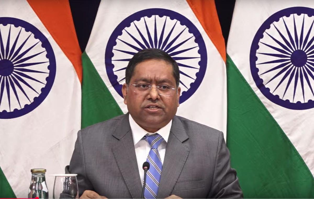
Randhir Jaiswal explains India’s position
Randhir Jaiswal, Official Spokesperson of the Ministry of External Affairs (MEA), Government of India, said India’s position on its territorial boundaries remains unchanged.
The MEA has emphasized that Jammu & Kashmir and Ladakh, as Union Territories of India, must be depicted according to India’s official map and that any representation considered inaccurate or misleading would not be acceptable to New Delhi.
Why the map issue matters
The controversy highlights the difference between supporting a cartographic projection and endorsing the territorial details shown on an individual map.
The UN General Assembly resolution concerns the use of an equal-area projection, rather than formally settling territorial disputes. The resolution is also non-binding and does not itself determine international borders.
India has therefore separated the two issues: it supports efforts to improve the geographical representation of the world’s land areas, while maintaining that India’s territorial position must not be altered or misrepresented through cartography.
No change in India’s territorial position
New Delhi’s latest clarification reinforces its long-standing position that Jammu & Kashmir and Ladakh are integral parts of India.
At the same time, reports and viral social-media graphics about UN maps can sometimes present diplomatic statements without their full context. The precise wording of any purported direct quotation should therefore be checked against the official UN record or MEA statement before being presented as a verbatim quote.
The larger diplomatic message
The issue carries significance beyond cartography because maps can become sensitive diplomatic instruments when they involve territories claimed by more than one country.
For India, the message from the MEA is that participation in an international mapping initiative does not alter its established position on sovereignty or territorial boundaries.
As global institutions increasingly discuss new standards for geographical representation, New Delhi is making clear that greater cartographic accuracy must also respect each country’s stated territorial position.
Global Times News | INDIA ; GTNS
SEPTEMBER 10, 2026